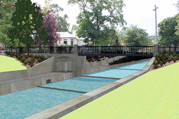
Waterway Revamp Minimises Leithal Floods
This sum is only a fraction of the $5.4 million that the Otago Regional Council expects to spend on the project over the summer. The funds have been sourced from local ratepayers. The University’s contribution is likely due to its status as a non-rateable property owner.
Possibly the most striking feature of the development is a shallower right bank (opposite to the Clocktower), which will bring pedestrians virtually within paddling distance of the Leith. This development will feature a grassed flat area, with a floodwall expected to be approximately 0.8 metres higher than it was previously.
Much of the work on the project has been planned to coincide with the summer holidays in order to minimise disruption to students.
The key function of the landscaping is flood prevention, with Otago University’s share amounting to only half the superficial aesthetic costs.
Plans for the revamp have been in place since 2004, when the Otago Regional Council first pitched the idea to Dunedin residents.
The Water of Leith has endured many spectacular floods throughout Dunedin’s history. The current record for flow rate occurred in March 1929, with an estimated flow rate of 220 cubic metres per second. Floodwaters reportedly travelled as far as Dunedin Railway Station, and over 500 properties were damaged extensively.
According to the Otago Regional Council’s official 2006 Flood Protection Scheme, the project aims to “enhance the recreational values of these waterways.”


